2015 to 2025 ACTION PLAN
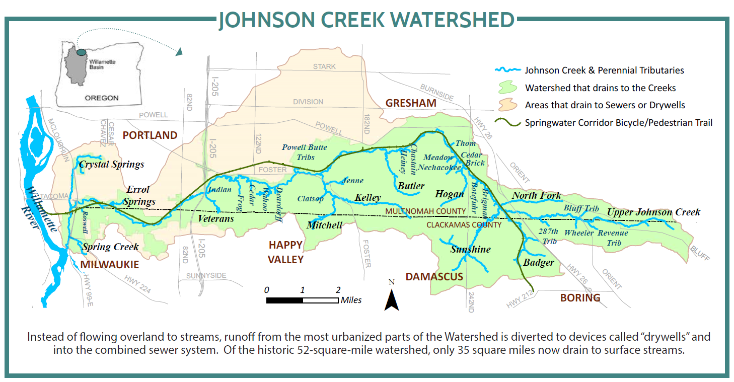
JOHNSON CREEK flows west for 26 miles from the agricultural foothills of Mount Hood near Boring, to where it enters the Willamette River just upstream of Portland. Elevations range from near sea level to 1,100 feet. Numerous springs and 50 inches of annual rainfall provide streamflow to the creek and its tributaries, which flow through parts of five cities and two counties. The creek provides water for agriculture and a picturesque setting for recreation, supporting both people and natural resources.
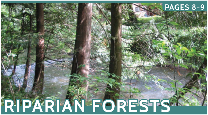
HISTORICALLY, ancestors of the Confederated Tribes of the Grand Ronde lived in this area. In the 1800’s, immigrants settled here, building several mill dams on the creek by 1852 and a railway by 1890. In the 1930’s, the lower 15 miles of Johnson Creek were channelized and lined with rock, which cut off floodplains, eliminated gravel bars, and destroyed streamside forests.
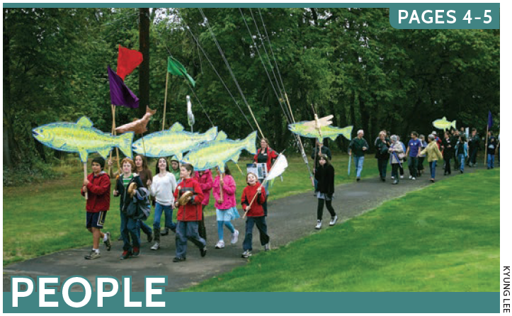
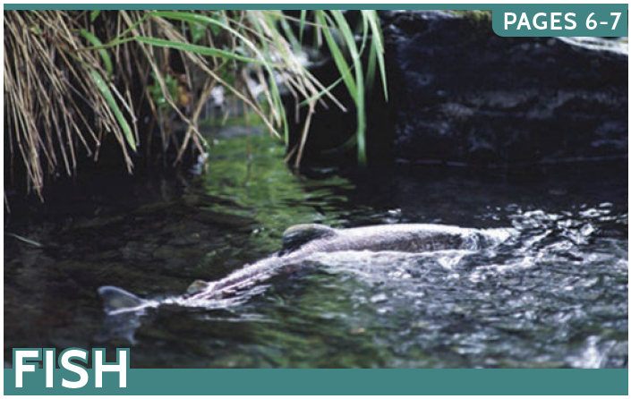
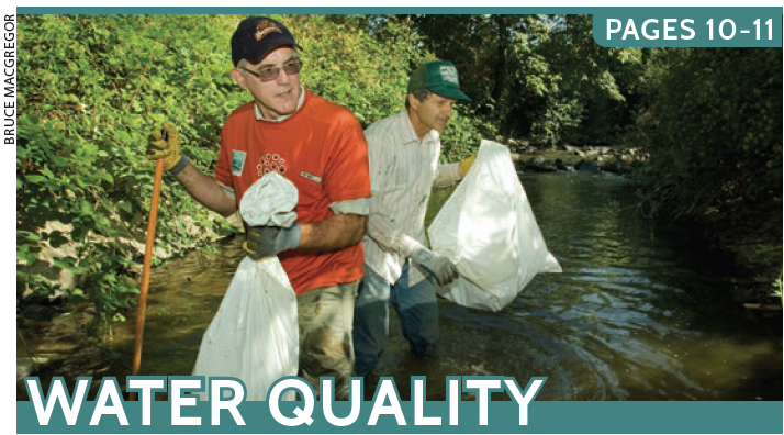
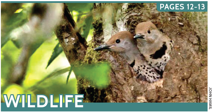
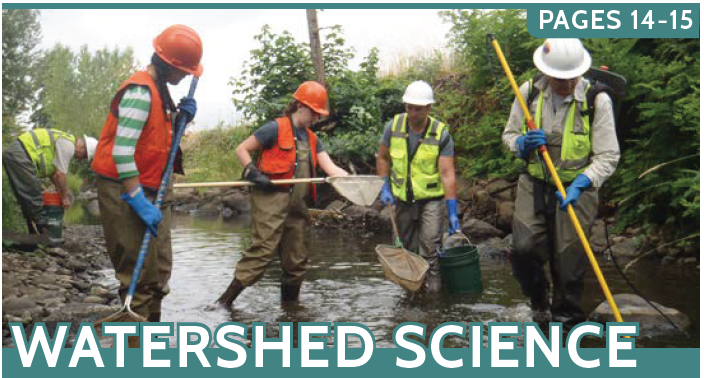
OVER THE PAST TWENTY YEARS, major efforts have begun reconnecting Johnson Creek to its floodplain and protecting and restoring important fish and wildlife habitat. Hundreds of streamside acres have been reforested with native shrubs and trees. Over 4,600 acres of parks and natural areas have been established in the watershed. A 21-mile bicycle and pedestrian path now follows the creek for much of its length. Called “Junk Creek” not long ago, now Johnson Creek is one of the few urban streams in our region where salmon spawn, year after year.
LOOKING FORWARD, climate change and development will compound the impacts of summer droughts, heat-waves, and higher-intensity rainstorms on aquatic life. But there is hope – modeling has shown that large-scale floodplain restoration and habitat enhancement projects may counteract many of these impacts on salmon and trout. The long-term solution is a shared positive vision and active community stewardship
for a healthy Johnson Creek.